

G4- M.Tech / M.Sc Thesis Research Training
M.Tech / M.Sc Thesis Research Training
The G4- M.Tech/M.Sc Thesis Research Training is a high-intensity, full-semester research mentorship program that provides end-to-end support for postgraduate students undertaking GIS-based thesis work.
We provide structured research mentorship, technical guidance, datasets and domain expertise throughout your thesis journey.
We pair you with domain experts — active researchers and industry professionals — who walk with you from synopsis to submission, ensuring your thesis meets the highest standards of academic rigor, technical depth, and visual professionalism.
Whether you are mapping urban sprawl, modeling groundwater potential, analyzing forest cover change, or building a spatial web application for disaster response, G4 gives you the structure, data, tools, and expertise to excel.
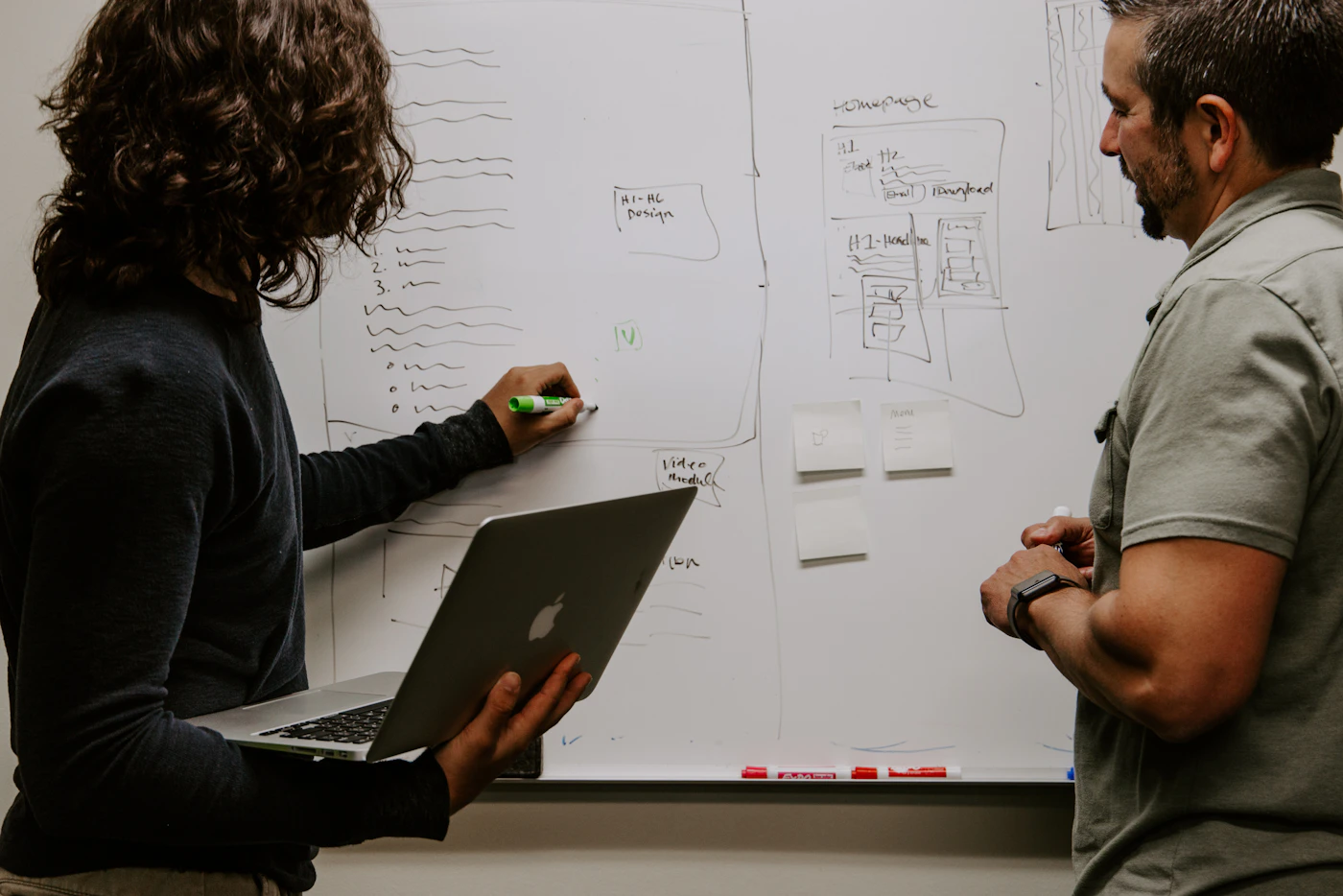
From Synopsis to Thesis Submission
G4 provides continuous guidance throughout the research lifecycle, helping students transform their ideas into technically sound, academically rigorous and professionally presented thesis work.

Explore Real-World GIS Research
Who Should Attend?
This research mentorship is suitable for postgraduate students from engineering, technology, geoinformatics, environmental and planning disciplines undertaking GIS, Remote Sensing or spatial-data-based thesis work.
Transportation, Geotechnical and Water Resources research applications.
Spatial computing, GIS applications and location-based technology research.
GIS, spatial analysis, mapping and geospatial research projects.
Environmental modelling, resource assessment and ecosystem studies.
Satellite imagery, land-use analysis and environmental change detection.
Spatial planning, urban growth analysis and development studies.
Get structured guidance from research planning and data preparation to GIS analysis, interpretation, documentation and final thesis submission.
Register for M.Tech / M.Sc Thesis Research Training
Download the registration form and take the next step towards completing your GIS-based postgraduate research with expert mentorship.